Groundwater & Mineral Exploration
AI-assisted geophysics — EM, CSAMT and resistivity — to find water and mineral resources where data are scarce, on Earth and beyond.
- >90%
- Drilling Success Rate
- 30%
- Cost Reduction
- 87%
- Prediction Accuracy
- 2+
- Open-Source Packages
Achieved with AI-assisted site selection
Average reduction in exploration cost
On borehole yield classification
Released for the community
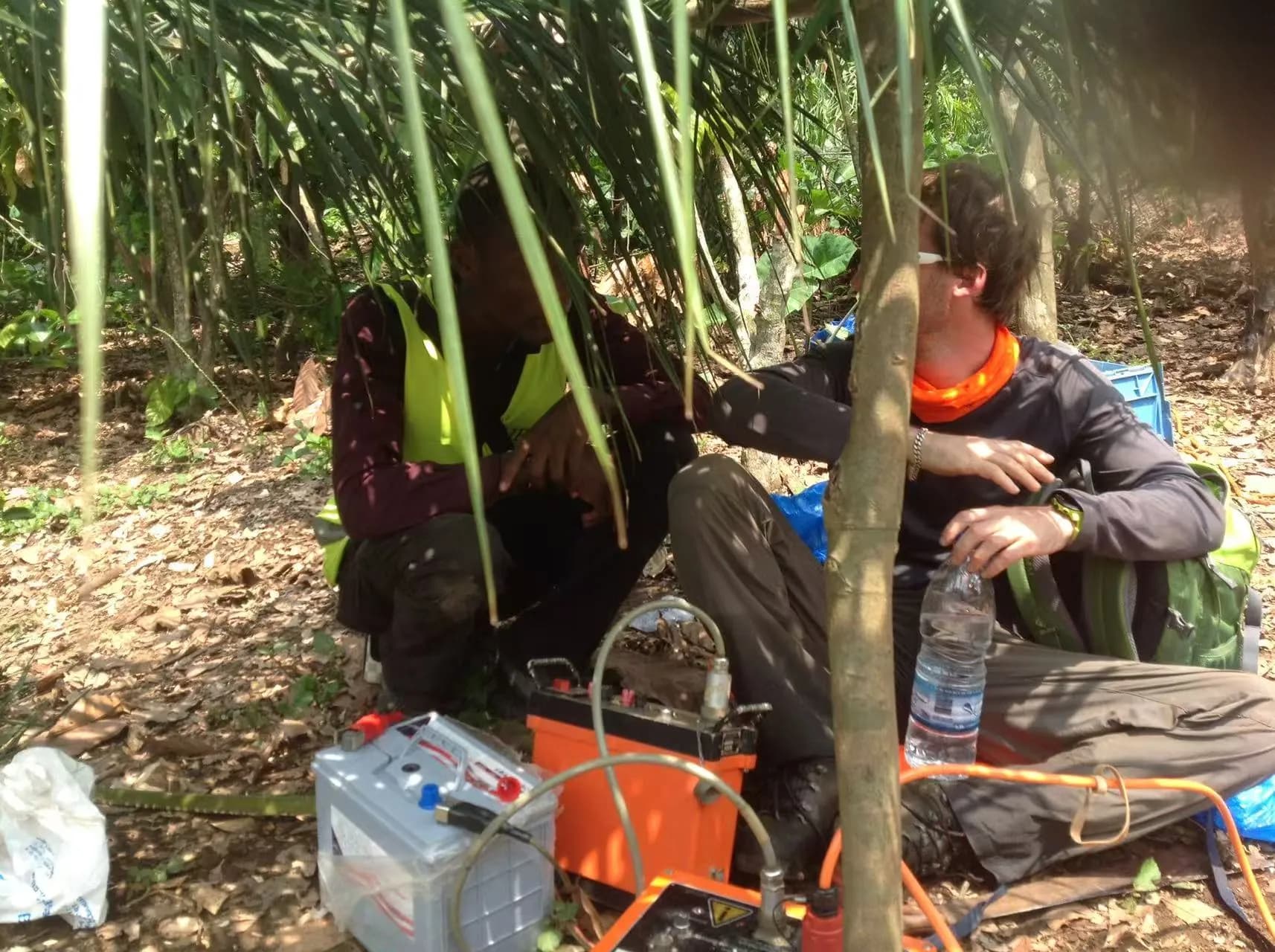
The Challenge: Finding Water Where Data Is Scarce
In rural Africa, failed water boreholes represent wasted resources and missed opportunities for communities in need. Traditional geophysical surveys are expensive and time-consuming. My research applies AI to AMT and CSAMT data to dramatically improve the probability of drilling success.
The Workflow
- 1Geophysical Survey (AMT/CSAMT)
- 2AI-Assisted Inversion
- 3Optimal Drilling Site
Open-Source Tools for a Global Challenge
Research impact requires accessible tools. I developed pyCSAMT and WATex — open-source Python packages that put state-of-the-art geophysical inversion and AI-assisted hydrogeology workflows in the hands of scientists and practitioners worldwide.
Open science is not just about sharing papers — it's about sharing the tools that make the science reproducible and applicable.
Survey operations on the ground
From reconnaissance to clean water delivery — click a photo to enlarge it.
Mineral exploration
The same electromagnetic methods and physics-informed AI, applied to mineral resources — down to titanium on the Moon.
Lunar Titanium Mapping — EM + PINNs Beyond Earth
Physics-informed neural networks extend beyond terrestrial geohazards. As part of an international expert panel (NASA / JAXA / CNSA collaboration, 2025), I applied Maxwell-equation-constrained PINNs to multi-spectral electromagnetic (MXS) data from lunar surface surveys to map titanium-rich basalt distributions — a setting where physical constraints substitute for the dense ground-truth labels that are impossible to collect on the Moon.
Key research outcomes
What this line of work has produced so far.
- 6+
Publications
Peer-reviewed papers in Water Resources Research, Geophysical Prospecting, Computers & Geosciences and more.
- >90%
Drilling success
Success rate across field campaigns in Côte d'Ivoire using AI-assisted site selection.
- 2
Open-source tools
watex and pyCSAMT, released as installable Python packages with documentation and tutorials.
- 1
Africa initiative
WATER4ALL for Africa, launched to scale AI-assisted groundwater exploration across the continent.
Software & documentation
Open-source tools that put this research into practice.

pyCSAMT
Python toolbox for AMT/CSAMT: end-to-end processing, SEG-EDI/Zonge compatibility, and 2D/3D geophysical inversion workflows.

watex
Machine Learning for Water Exploration
Python library for groundwater exploration: integrates DC resistivity (ERP/VES), EM, geology, and ML for siting wells, predicting yields, and restoring noisy EM signals.
Related publications
Peer-reviewed papers and preprints from this line of research.
- 2025Published
A mixture learning strategy for predicting aquifer permeability coefficient K
Kouadio, K. L.; Liu, J.; Liu, W.; Liu, R.
Computers & Geosciences
Read paper - 2023Published
Ensemble Learning Paradigms for Flow-Rate Prediction Boosting
Kouadio, K. L.; Liu, J.; Kouamelan, S. K.; Liu, R.
Water Resources Management
Read paper - 2023Published
watex: machine learning research in water exploration
Kouadio, K. L.; Liu, J.; Liu, R.
SoftwareX
Read paper - 2023Published
A novel approach for water reservoir mapping using controlled-source audio-frequency magnetotelluric in Xingning area, Hunan Province, China
Kouadio, K. L.; Liu, R.; Malory, A. O.; Liu, W.; Liu, C.
Geophysical Prospecting
Read paper - 2023Published
Electromagnetic monitoring with local mesh for time-lapse monitoring of hydraulic fracturing
Zhang, Z.; Liu, J.; Guo, R.; Kouadio, K. L.; Zhan, S.; Li, A.; Liu, R.
Journal of Applied Geophysics
Read paper - 2022Published
pyCSAMT: An alternative Python toolbox for groundwater exploration using controlled-source audio-frequency magnetotelluric
Kouadio, K. L.; Liu, R.; Mi, B.; Liu, C.
Journal of Applied Geophysics
Read paper
Continue exploring
Each area feeds into the others — here is where to go next.
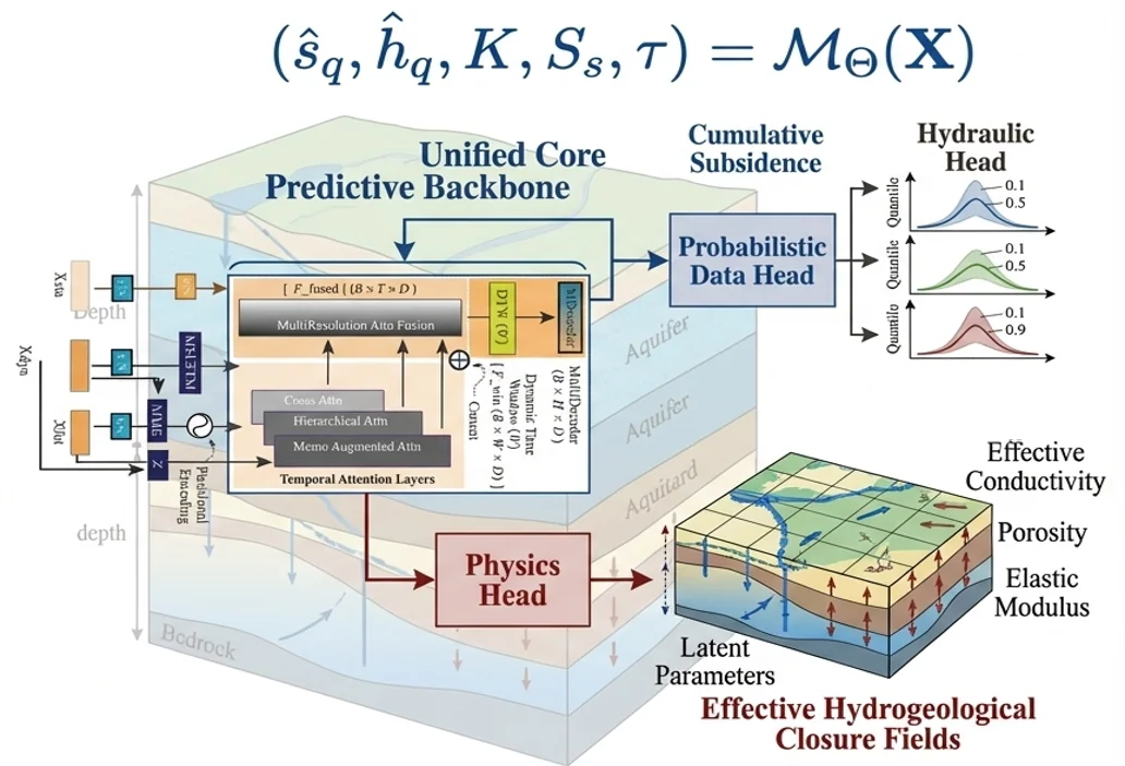
Big Data in Earth Systems
Satellites, geophysical surveys and sensor networks produce far more data than traditional geoscience workflows can turn into insight.
Explore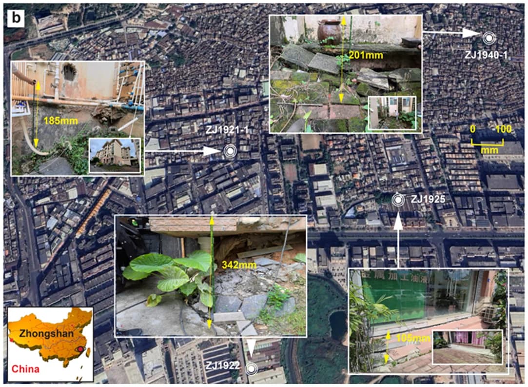
Natural Hazards
Land subsidence, contamination from failing landfills and wildfires threaten cities, water and ecosystems — often faster than monitoring can follow.
Explore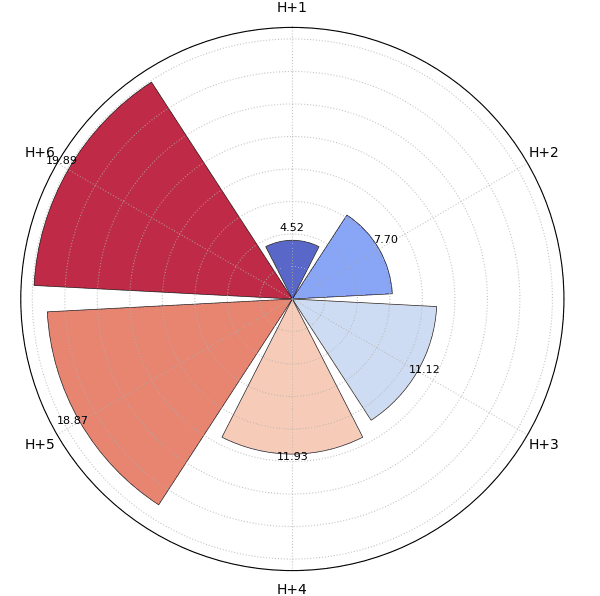
Uncertainty & Trustworthy Forecasting
Making reliable decisions requires a trustworthy understanding of forecast uncertainty.
Explore