

A Continent-Wide Gap
Across sub-Saharan Africa, more than 400 million people lack reliable access to clean water. Yet thousands of boreholes are drilled every year — and nearly half of them fail within five years. The problem is not effort or investment. It is knowledge: the right geological data, in the right hands, at the right time.
WATER4ALL for Africa was born from a simple conviction: that combining AI with crowdsourced field expertise could close this gap, one borehole at a time.

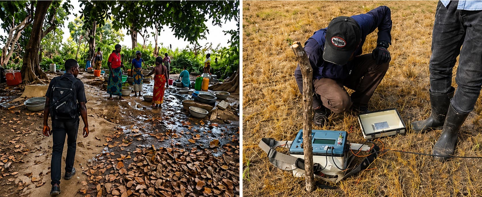
Field reconnaissance — searching for groundwater signals across the Sahel zone.
A Better Way to Find Water

Traditional site selection relies on the experience of individual hydrogeologists — knowledge that is scarce, expensive, and unevenly distributed. Remote sensing helps, but without ground-truth validation it remains incomplete.
The WATER4ALL approach aggregates geological surveys, satellite indices, soil profiles, and historical borehole records into a unified predictive model. The result is a probability map that field teams can consult before committing resources to a drill site.
The Night Run
The catalyst was a failed borehole in northern Côte d'Ivoire. A community had waited three years for funding; the drill hit hard rock at 60 m and returned dry. The cost — financial and human — was devastating.
That failure pushed the project founder to ask: could a data-driven model have predicted this? Preliminary analysis suggested yes, with 70 % confidence. The question became a mission.

Night data acquisition — testing ERT equipment under minimal power load conditions.
Field Testing & Results

Pilot deployments in Burkina Faso and Guinea tested the model against conventional survey methods. Teams equipped with the WATER4ALL probability maps reduced dry-hole rates by a third in the first season.
More importantly, they did it faster — cutting pre-survey time from weeks to days — freeing resources for more sites and more communities.
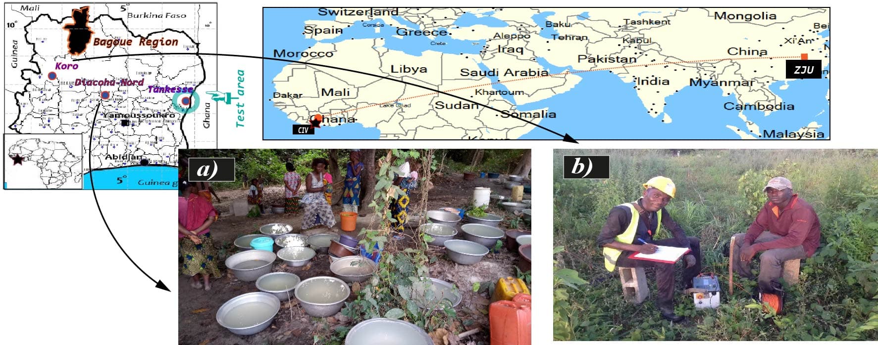
Field team deploying electrode arrays at a candidate drilling site, August 2016.
The Road Ahead
The next phase expands the training dataset to 10,000+ labelled sites across 15 countries. Open APIs will let NGOs, government water agencies, and private drillers query the model directly.
But the biggest multiplier is community data. Every field observation submitted — soil type, water depth, seasonal flow, local geology — makes the model smarter for everyone. WATER4ALL is open science in the most literal sense.

Join the Movement
You do not need to be a hydrogeologist to contribute. Farmers who know where water surfaces after rain, engineers who have drilled dry holes, students mapping land-use change — all of this knowledge has value.
WATER4ALL is free, open, and built on the idea that shared knowledge saves lives. If you have data, stories, or time, we want to hear from you.
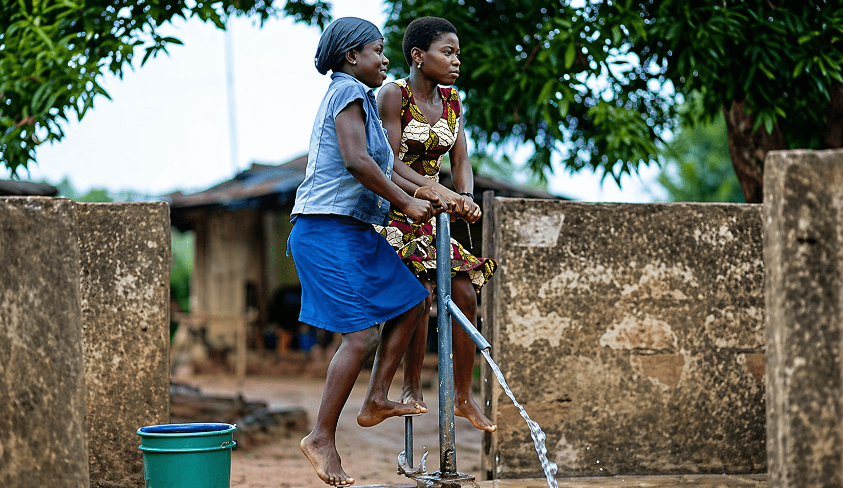
Field Result
Field result: community borehole success using the WATER4ALL probability map.
Be part of the solution
Share local water-point knowledge to improve drilling success and protect communities.