


WATER4ALL for Africa
Using AI and crowdsourced data to improve the success rate of water borehole drilling across Africa.
About the Initiative
Contribution by Country
Team & Collaboration
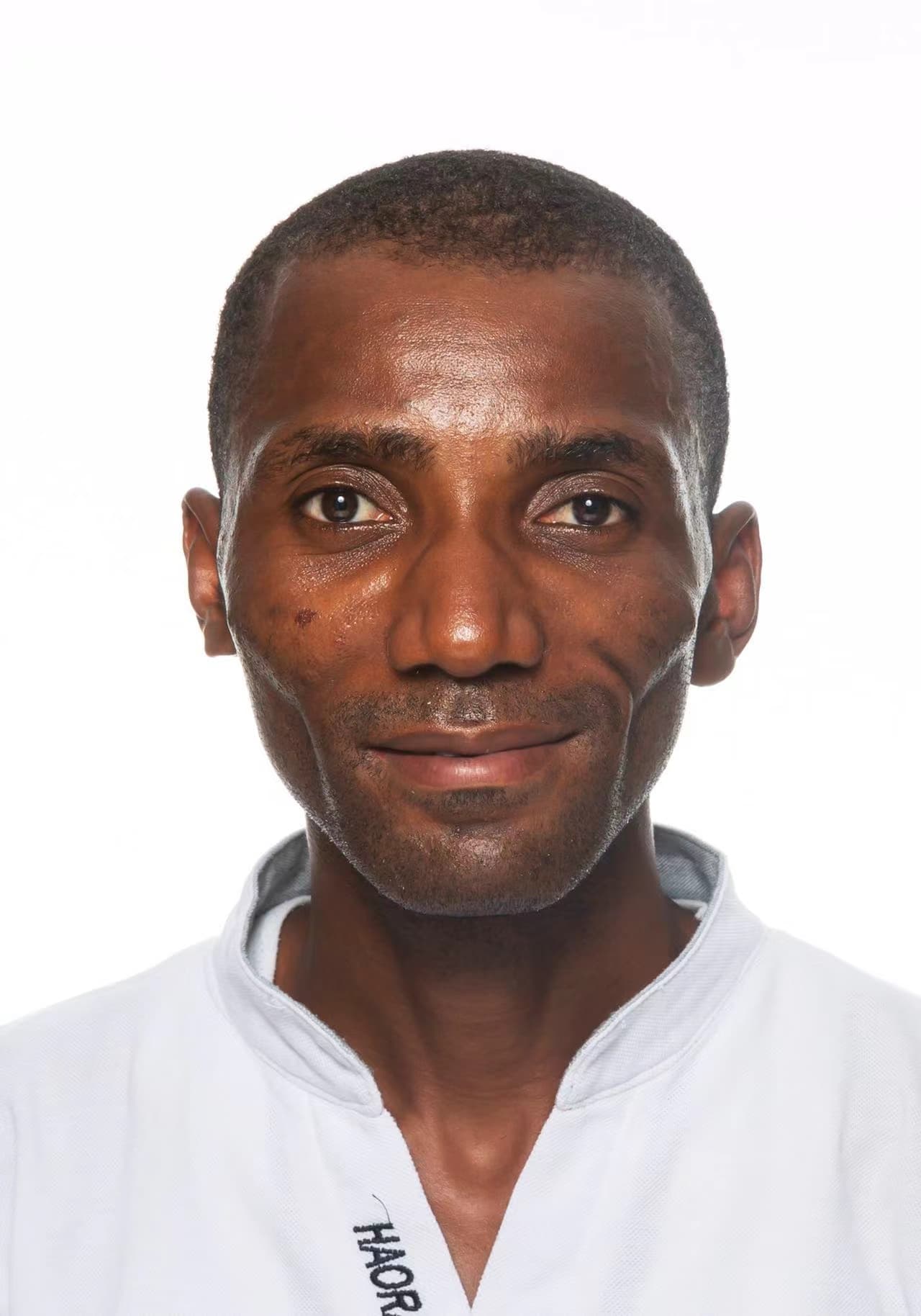
Laurent Kouadio, PhD
Project Lead
A Geophysicist and AI Researcher, Laurent leads the WATER4ALL initiative, applying machine learning models to solve critical water access challenges.

Fabrice Blanchard Allechy, PhD
Hydrogeologist and Climate Resilience Specialist
Hydrogeologist, specializing in water resources and climate. Passionate about leveraging modeling to strengthen the resilience of agricultural systems and water resources against climate change. Focused on climate impact analysis, climate extremes, and aquifer pollution, with a strong emphasis on sustainable management and adaptation.
Geospatial Data Specialist
We are looking for collaborators passionate about geospatial data analysis to join this mission.
Join the TeamContributors
Get Involved
How to Contribute
Make an Impact
- 1Share field data from borehole surveys
- 2Upload geological or hydrogeological reports
- 3Provide local knowledge and community insights

WATER4ALL for Africa
Using AI and crowdsourced data to improve the success rate of water borehole drilling across Africa.